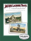
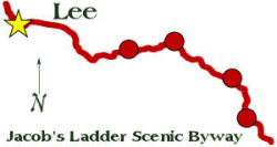
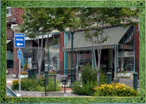
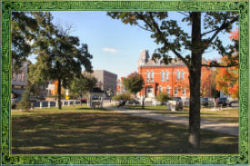
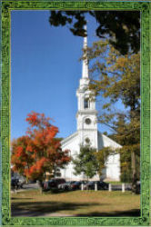
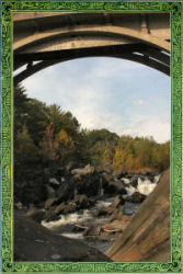
 Incorporated in 1777, Lee was built around its marble quarry and paper mills. Its center is notable for its historic architecture and traditional New England main street. The towering steeple of Lee’s Congregational Church, reputed to be the tallest in the United States built of wood, marks the western end of the Jacob’s Ladder Scenic Byway at the town park. On Founders Day, held in October, Lee celebrates its colonial heritage with a hometown parade. Known as "The Gateway to the Berkshires," Lee offers attractions of its own as well as an enjoyable place to stay while visiting other Berkshire and Jacob’s Ladder sites.
 |
 |
 |
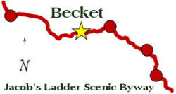
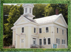 Becket, site of the legends that the Jacob’s Ladder Scenic Byway was named for, has two historic villages. In Becket Center, which began with a sawmill in 1740, the first Congregational Church has a bell cast by Paul Revere that is still in use today. In front of the church is "The Parade" where Becket Minutemen drilled before marching to Boston in 1775. In 1840 Becket Village developed around the Western Railroad, which became the Boston-Albany Railroad. The Village is noted for its Greek Revival architecture, examples of which include the Becket Arts Center, offering exhibitions and classes during the summer months, and the Becket Athenaeum, a former church, housing the town’s library and museum.
 |
 |
 |
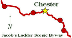
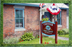
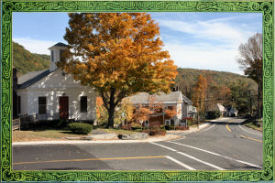 Chester Factory Village developed in the mid-19th century with the arrival of the railroad. It has excellent examples of the Italianate and Colonial Revival styles of architecture in its railroad depot, inn and general store. The village is home to the Miniature Theater, which uses the auditorium of the Chester Town Hall for its productions. The Chester Railroad Depot Museum and the Chester Jail historic site offer many artifacts and photographs of 19th century life in this former industrial village. The annual Chester on Track railroad festival is held in May. Chester Center, on Skyline Trail, is an intact 18th and 19th century village, with an old burial ground and agricultural surroundings.
 |
 |
 |
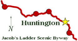
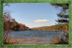
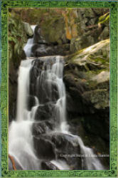
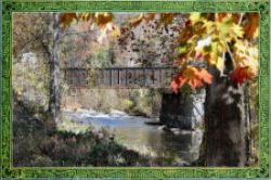
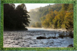
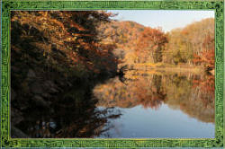
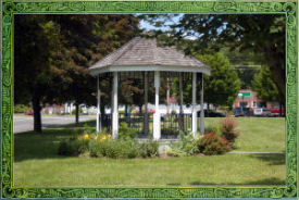 Known as Falley’s Crossroads in the early days of settlement, Huntington Village has numerous historic structures including picturesque Stanton Hall, a former church located on the town common. During the summer months, the common hosts occasional public events. The Norwich Bridge school, a former one-room school house and home to the town’s historical collection, is located on the northern edge of the village. Three branches of the National Wild & Scenic Westfield River join to form the main stem in Huntington, offering scenic views year round.
 |
 |
 |
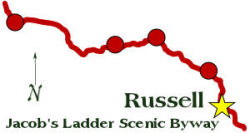
 Comprised of three historic villages, Russell blossomed during the industrial revolution along the banks of the Westfield River. The former Strathmore Mills complex dominates Woronoco Village located on Salmon Falls. Horace Moses, who operated these mills from 1905 to 1947, created a company town with worker housing, a community center and a park. Russell Village, a mid-19th century railroad village, hosts several notable historic buildings in a typical New England setting. The town celebrates Memorial Day with a parade down Main Street. Today the only active paper mill is located in the hamlet of Crescent Mills.
 |
 |
 |